July 2025 / WordPress Plugin
Interactive map
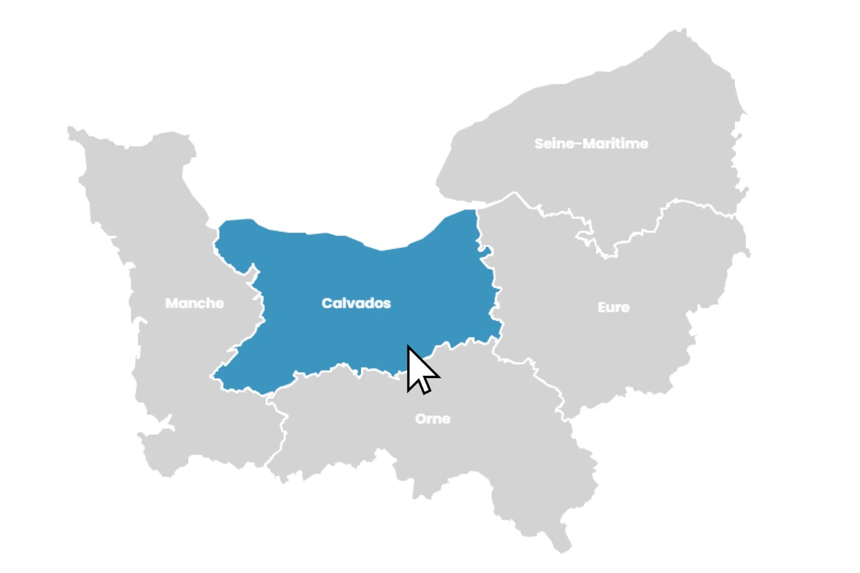
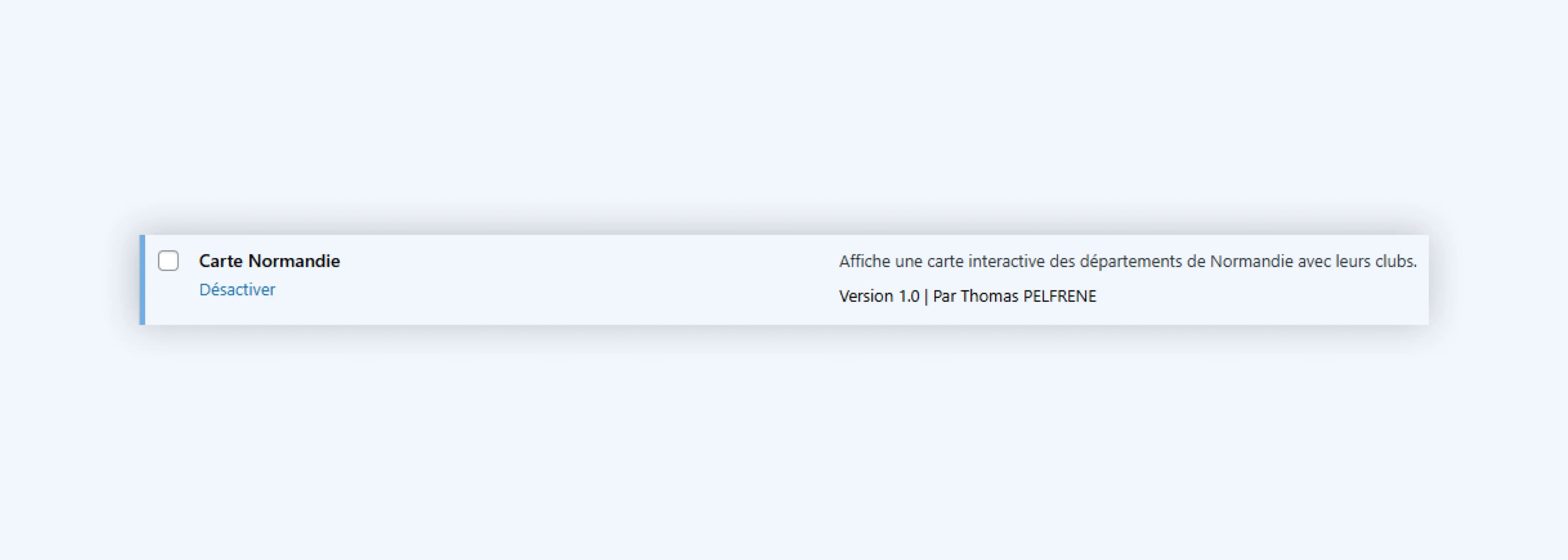
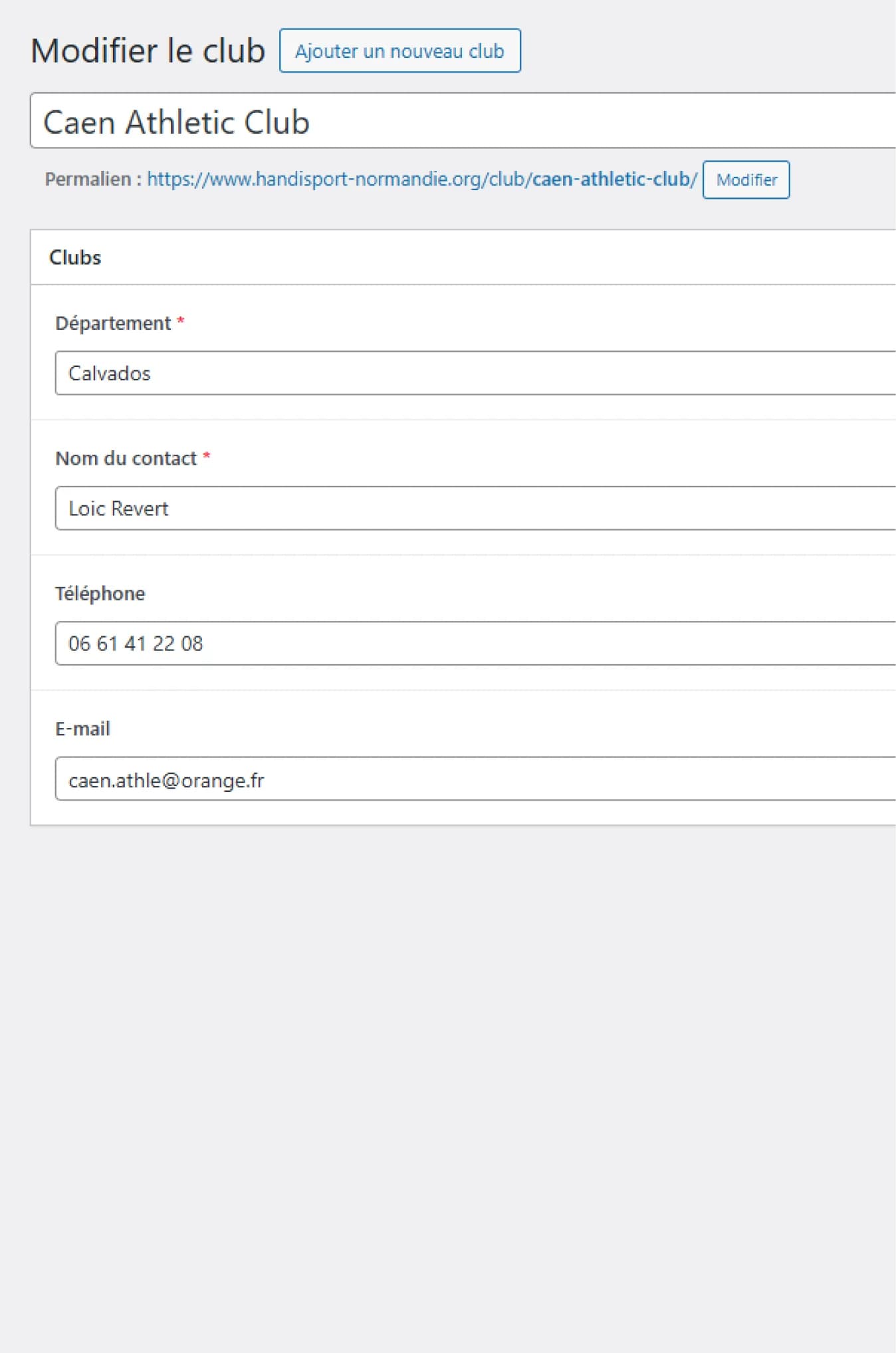
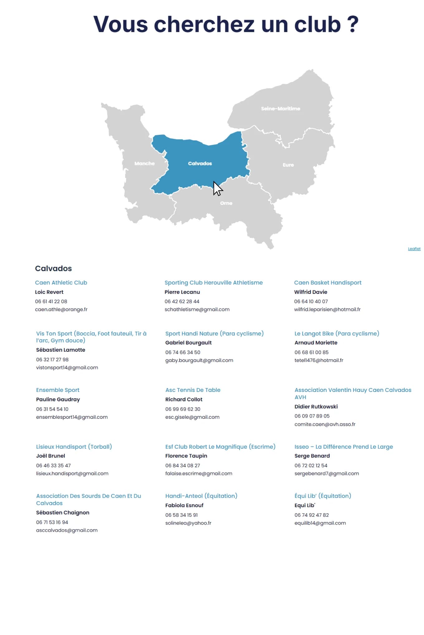
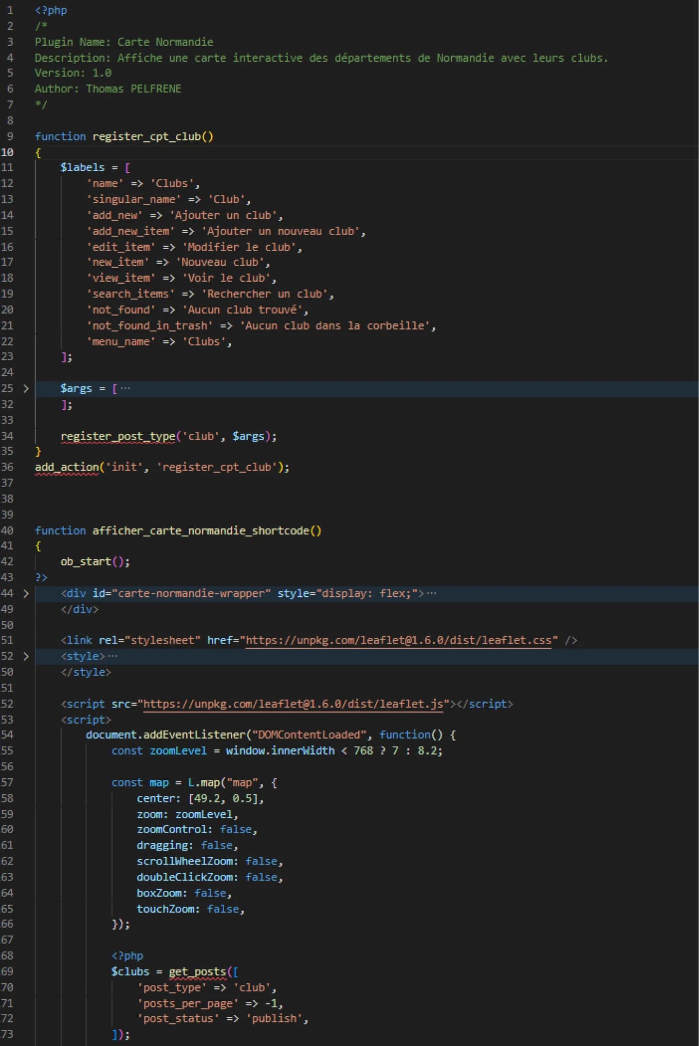
This WordPress plugin creates an interactive map of Normandy that shows each department and lists the clubs located there. When you click on a department, it highlights the area and displays the club names, contact details, phone numbers, and emails in a clear list below the map. It uses Leaflet.js for the map and Advanced Custom Fields to store the club information in WordPress.
I made this plugin for a friend who builds WordPress sites as a freelancer. She usually handles the design and setup herself, but she calls me when a project requires custom coding.
Featuring
WordPressPHP